Tuesday, October 28, 2014

Dog Canyon

For the final stop of our trifecta, we traveled another 50 miles to Oliver Lee State Park which is situated at the mouth of Dog Canyon.  Because they had experienced an unusual amount of rain, everything was green and plants were flowering out of season.

New Mexico State Parks are generally very nice, with widely spaced RV sites.  They are also very reasonably priced, which makes us happy.  We paid $10 for a site without hookups.  It's a few dollars more for hookups.

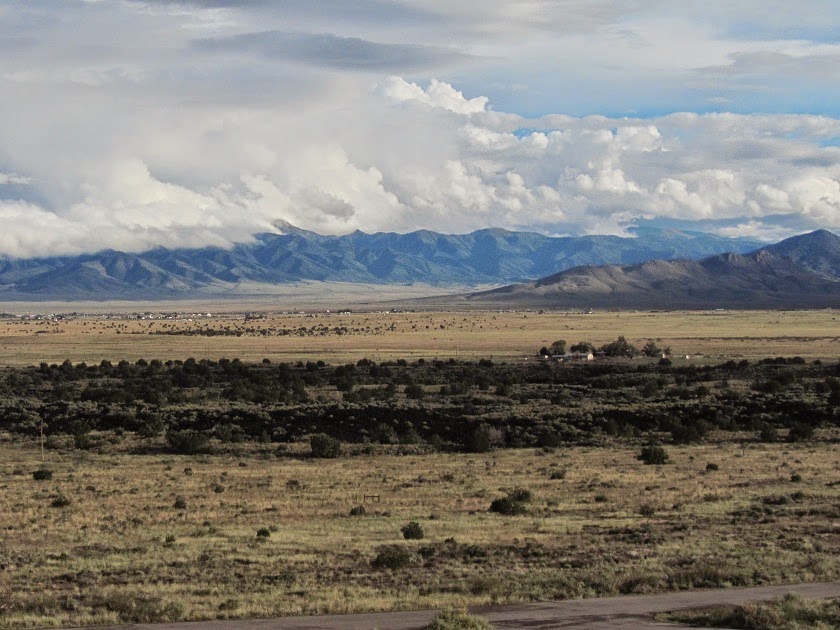
In the evening, we were treated to a soft pink tint on the mountains to the east . . .

Then the sky was painted a vibrant orange as the sun set over the Tularosa Valley.

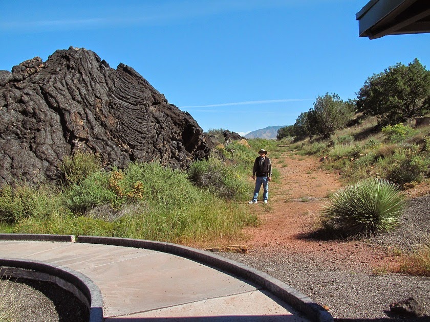
The next morning, we were up and out early (for us) to hike up the canyon.  The trail goes 5.5 miles to the top of the mountain and if you have two vehicles, you can drive to that end in the national forest. But we were happy to just go until we were half tired.

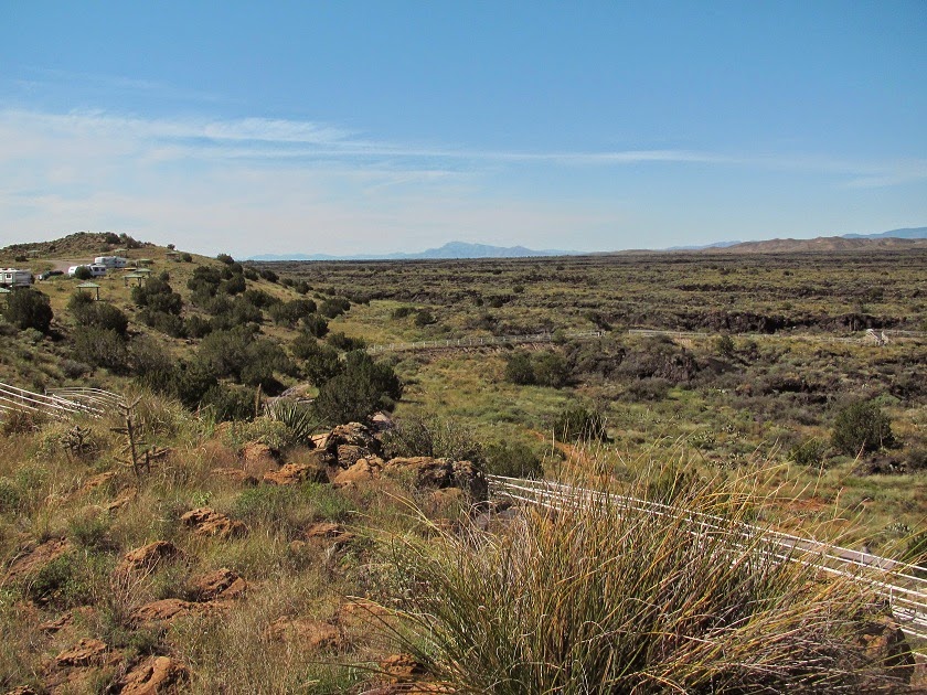
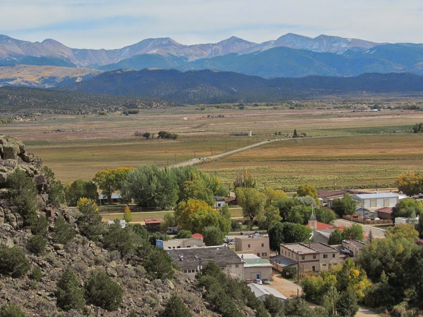
The first 6/10 mile is steep, with a 600 foot elevation gain.  On the way, we had a good view of the campground.  That's us on the far left, parked happily away from any campfires.  (Actually, the other loop had the hookups.)

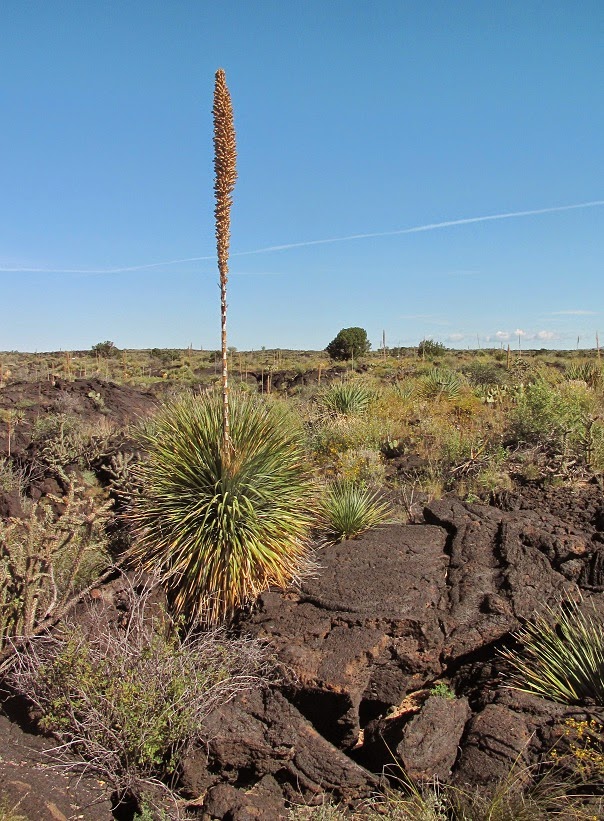
Now this is what I call a rock garden.

As promised, at 6/10 mile, the trail leveled out and was mostly a walk in the park with just a gradual elevation change.

It was really a wonderful hike, I would give it 5 stars, although I'm sure it can be blazing hot. Here's a shot looking back down the canyon.

After 1 1/2 miles, Ron decided to turn around, but I wanted to go just a bit farther and try to see the end of the canyon.  Sure enough, at mile 1 3/4, I got the view I was looking for.

Here's a close up of the end.

At that point, the trail descends some before, once again, climbing steeply, so I turned around.  On my way back, I zoomed in to catch a glimpse of White Sands National Monument in the distance.

In case you're wondering how I know exactly how far we hiked, this trail has mileage markers every 1/4 mile.  How cool is that?

To finish up New Mexico, we made our way to I 10, passing close to, but not stopping at, White Sands.  We were there before and I wasn't really impressed.  But it is an interesting phenomenon.


Sunday, October 26, 2014

Three Rivers Petroglyph Site

Only about 35 miles south of Valley of Fires was our next stop.  We almost didn't stop, thinking that we have seen so many petroglyphs, but it was right on our way.  We were glad we did.
(Ron wanted to know who counted the 20,000 petroglyphs.)

Like Valley of Fires, Three Rivers is run by the BLM and camping, with electricity, was only $9 with that magical Senior Pass.  On our way up the petroglyph trail, I snapped this picture of the tiny campground.

What I found interesting was that the petroglyphs were more detailed than most I've seen.  Certain ones of them were described in the trail guide, like this bighorn sheep with bent legs to depict motion.

And this mask.

Here the rock artist used a nodule on the rock as a bighorn sheep's eye.

The guide said this face was drawn with earrings.  I thought he just had big ears.

This is the best known and most photographed petroglyph.  The sheep is pierced by three arrows.

And of course there were lots of carvings not in the guide and open to our interpretation.  We thought this was a bird carrying a snake.

A very fancy fish.

A turtle standing on its hind legs?

Air raid shelter?

Alright, now I'm getting carried away, but they were everywhere.

We didn't see all 20,000, but had fun looking.

Thursday, October 23, 2014

Valley of Fires

Our next three stops in New Mexico were a first-time visit for both of us and all were much more interesting than I anticipated.  The first was Valley of Fires Recreation Area.  The most recent lava flow through the Tularosa Basin was 1500 to 2000 years ago, recent in geological time.

I really liked how the campground was on a sandstone hill overlooking the massive lava field.  This is the view from our site.

This is the view off the other side of the hill.  You can see some lava on that side also.

Here are some statistics about this lava field.
Imagine, 44 miles long.

The next morning we hit the trail to take us right into the flow.  From the hilltop, there's no end in sight.  That's part of the campground on the left.


But to really appreciate it, we have to get down off our safe hill.  I was fascinated with the edge of the flow.  You can just imagine the surface lava cooling while the molten lava underneath continues to push against the crust.

We saw collapsed bubbles and lava tubes, like this one that went right under the trail.

It was much more interesting in person since pictures just don't do it justice.  

There's plenty of vegetation in that seemingly hostile environment. 

Including this juniper, estimated to be over 400 years old.

One thing that surprised me was that going off-trail was permitted.  I'm not sure how I feel about that. I love the idea of freedom to explore, but I worry about the possible damage. 

Tuesday, October 21, 2014

Into New Mexico

Heading into New Mexico on US 285, we passed through some heavy smoke for about 25 miles.  We never did find out where the smoke was coming from, but luckily it cleared up by the time we reached one of our favorite boondocking spots.  About 35 miles south of the border, and just 3/10 mile east of the highway, there is a great spot on National Forest land (36.46601, -105.90892, at the turn.)  It's a nice peaceful spot in the middle of nowhere, but does have Verizon internet.  Here's a picture from when we were there a couple of years ago.

Past Santa Fe, we decided to continue south on state road 41. We found it to be not exactly the best road, but wanted to stop at Salinas Pueblo Missions National Monument.  The monument is comprised of three pueblo sites and we decided to only stop at Gran Quivira because it seemed to have the most to see and was right on our way.  :-D

First we checked out the visitors center which was small, but interesting.


Then we walked around the grounds.  These pueblos were major trade centers.  Salt from nearby dry lake beds was an important commodity traded between Pueblo and Plains Indians. Gran Quivira grew from a cluster of pithouses 1200 years ago to a stone and adobe village with 2000 people.

The plaza was the heart of the pueblo.

In the 16th century, Spanish explorers came to New Mexico looking for riches.  They were disappointed.  But the Pope was not so easily dissuaded and charged the Spanish crown with Christianizing the natives.  In 1630, the first mission church was started at Gran Quivira.  The remains of the church is in the foreground, with the cemetery in the rear.

In 1659, work was begun on a new church.  Men of the pueblo carved and placed the wooden beams. How they did that, I don't know.

Here you can see more of the beams from the side view.

The new church was never completed and the pueblo was abandoned during the 1670s.  The theory is that this was due to raids by the Apaches, drought with wide-spread famine, and epidemics from introduced diseases.


Saturday, October 18, 2014

Did Somebody Say Scenery?

Our next stop was on public BLM land outside of Antonito, Colorado.  We've been here before and there is something special about this spot.  All that black smoke in Antonito is a clue.

It's the Cumbres and Toltec Scenic Train on its way to Chama, NM.  Here's a video of it as it passes our overnight spot.  Turn your sound up for the full effect.


But we were not here to take the train because we already did that a couple of years ago.  To see the post on that trip, click here.

It was a fantastic train ride, climbing up and over the Cumbres Pass to Chama.  As an added bonus, I was unexpectedly wowed by the bus ride back to Antonito.  Remembering that ride over state road 17, we decided to take the bus's route in the car, thinking it might be even more gorgeous with the fall colors.

The road follows the Conejos River for about twenty miles where willows and cottonwoods provided color.


After about 20 miles, the road left the river and the aspen took over.

And we crested La Manga pass at 10,230 feet.

 After the pass, we began to parallel the train tracks,

If I was my father, I would have stopped right there and waited for the train to appear.  However, I figured it was stopped for lunch, so we continued into Chama and had a nice lunch ourselves.

On our return trip, I was hoping to catch the train at a opportune spot, but we only caught a glimpse of it through the trees.  I had to settle for more pretty trees.

I think this drive is one of the prettiest I've ever seen, especially with the fall foliage.

For anyone who is interested in our boondocking spot outside of Antonito, the coordinates are 37.05389, -106.03918.  It's a little tricky because most of the area is private, but it you put the coordinates in your GPS it will take you right there.

Thursday, October 16, 2014

Surprise

We go through Denver quite often on our way from and to our winter quarters in Mesa, AZ, and we try to find different routes.  This time, we headed south on I 25 to Walsenburg, then took La Veta pass over the Sangre de Cristo mountains.  It lived up to its 'scenic road' designation.  I don't know what I was doing, but this seems to be the only picture I took.

Once over the pass, we stopped in tiny San Luis for lunch and were very surprised to find an amazing attraction.  On a 7/10 mile trail up a mesa overlooking the community, are two-thirds life-size bronze statues depicting the stations of the cross.

The bronzes, created by Huberto Maestas, can best be described as powerful.  Some were just too disturbing to photograph.

At the top of the mesa is the Chapel of All Saints, which was built by local volunteer labor and donations.

Quite a feat for a town with a population of only about 600.

From the top is quite a view of San Luis and the surrounding mountains.