Wednesday, April 30, 2014

One More

For our last Sedona hike, Diana, Phil, Ron, and I decided it would be interesting to take the Soldier Pass Trail to the 'pools.'  None of us had done this one previously and the trail was actually prettier than we expected because it travels along one side of the canyon, instead of the bottom.

Not far from the trailhead and at the base of this rock formation, we came upon something we didn't expect

Devil's Kitchen Sinkhole

The rim measures 150 feet (north-south) by 92 feet (east-west) and the top of the rubble is 40-60 feet below the rim.  In 1989, the northern end fell, including this giant block.
I sure hope nobody was standing on it at the time.

Backing away, we continued on and found the pools.

One of them was occupied by this black-necked garter snake.  (I looked it up.)

Since this was our turn-around point, I snapped another picture (or three or ten.)  The formation to the far left is the back of Coffee Pot Rock.

We also did a little of the connecting Jordan Trail, where Ron found a teddy bear.

With a little effort, we could all see him - facing left, with his little nose, shadowed eye, and paw out.


Sunday, April 27, 2014

Another Hike

You're probably getting tired of reading about our hikes, but Sedona is just so beautiful that we keep going.  One day, we hiked around Chimney Rock, which should be properly named Chimney Rocks (or would that be Chimneys Rock).  Anyway, there are two spires.

I expected the trail to just circle the base of the hill, but it actually climbed quite a bit.

Diana told us to be on the lookout for Lizard Head Rock.  Can you see it?  Personally, I was thinking a dragon head with the clouds looking like smoke.

We had a nice view of the canyon we had driven up the other day.

And found a pretty wildflower that we tentatively identified as a penstemon.

I pointed out this Tiki rock, but didn't get much agreement.  He's turned to the right, so you only see his right eye.

And on our way back down to the car,

Diana and Phil took us to pay our respects to the Budda.

Halfway through our stay in this area, we joined our WIN friends and parked five miles south of Cottonwood. It's farther from Sedona with all the lovely hiking, but this might be the only time we see these friends this year. The WINs are always fun.  We've gone dancing, out to eat, and made a trip to Prescott to visit a member we haven't seen in awhile.  Not to mention, we caught up on everything the others have been doing.  I also dragged Ron to see the local high school production of Guys and Dolls.  Personally, I love musicals - Ron, not so much.  But even he was impressed with the quality of the performance. I loved it!


Tuesday, April 22, 2014

Vultee Arch

One day Diana suggested we go to see Vultee Arch north of Sedona.  This necessitated driving about five miles on a really rocky road.  Luckily, she volunteered Phil to drive us in his 4-wheel drive SUV.

The road was much worse than Schnebly Hill and the Forest Service ensured you were up to the challenge by placing rocks across the road at the beginning.  If you could get over the rocks, you were good to go.

After those five endless miles (although I think Phil actually enjoyed himself,) we arrived at the trailhead.  It's about 1 1/2 miles to the arch with a gradual elevation gain up the canyon.
 
Along the way we admired these happy orange flowers.

And in one area we were surprised by a garden of lupine.

I liked the way the dappled sunlight hit this clump of grass.

Suddenly the trail left the woods and entered a clearing.  We looked up and there was Vultee Arch in all its glory.

Should we climb up to it?  Nope, let's just zoom and see the people who did.
(You probably can't see the people unless you click on the picture.  The arch is larger than it appears.)

Looking back the way we came, the cliffs reminded us of Zion.

And it just wouldn't be a hike if Ron didn't find us an unusual rock.  He said this one was a head in danger of rolling down the hill.

.

Sunday, April 20, 2014

Teacup Found

One of the popular tourist activities here in the Sedona area is taking a relaxing balloon ride.  Very early almost every morning, they come by our rig.  I thought the attraction was the scenery, but maybe it's us!

I confess I was only up that early because Diana, Ron, and I wanted to get a jump on one of our favorite trails - the Teacup Trail.  Even the view from the trailhead is spectacular.

After an easy 6/10 of a mile, the trail heads down into the valley.  Can you imagine living in this beautiful place?

At this point, there is a great view of the rock formation known as the Coffee Pot on the right side of this picture. Keep in mind, this is not a Keurig coffee pot, but an old-fashioned percolator.

But here's the funny part.  Since the trail is called the Teacup Trail, where's the teacup?  Well, according to a local who happened to be there, the teacup is where I've placed an arrow.  Here's a closeup.

Now does that look anything like a teacup?  Is this guy pulling our collective legs?  Ron said he could see a wine glass, but no teacup.

We turned around at this spot, mostly because we didn't want to climb back up that hill.  On our way back, we took one more look at the teacup to see if it looked better from a different direction.
Nope

But Chimney Rock - now that one makes sense.

I highly recommend this trail.  You can turn around like we did for a short 1.2 mile hike or continue another mile down into the valley and return.  We talked to some returning hikers who even connected with the Solder Pass Trail at the end of Teacup.  Or, if you have multiple vehicles, you could leave a car at the lower end of the trail.  It has something for everyone.

Thursday, April 17, 2014

Amazing Sedona

After a grueling 53 miles, we arrived at our spot in the National Forest that is perfectly positioned between Cottonwood and Sedona.  I know it's hard to believe, but it took us all day.

First thing the next morning, we headed for Sedona.  First stop is always the viewpoint on Airport Road. A picture can never do it justice, but this view is the epitome of awesome.

Sedona is a hiker's paradise with numerous trails for hikers of all levels.  We have been here several times and done many of them, but neither of us had ever driven Schnebly Hill Road, which climbs up the Mogollon Rim.  When we asked at the visitors center, they advised us not to attempt it unless we had 4-wheel drive.  Ha!  They don't know who they're talking to.  In 2008, after being told the same thing about the loop in Monument Valley, Ron didn't hesitate to drive it in our Saturn which had 3 inches of clearance.
 

Now we have our nice high-clearance vehicle and, even without 4-wheel drive, nothing can stop us.  There were a couple of rather nasty spots, but most of the road was not too bad.

You did have to watch out for the manhole covers.  What's up with that?

Our goal was about 3 miles up Schnebly Hill Road, where we parked to hike.  Wouldn't this be the trail you would want to take?

It was only a mile round trip and had some great views, but we did keep an eye out for the cow pies.  Is the trail name referring to these scattered pieces of lava? 

We didn't think so and kept looking.

Oh, look!  A cave with a couple of interesting columns.  That one nearest the cave looks like a Tiki.

We looked all around, but none of the spectacular scenery seemed to fit the trail name.

Then when we turned around to head back, there it was.  The rocks we had been traversing, with a little imagination, looked like the biggest cow pies imaginable.  Ewww, we had been stepping on them.

At this point, we decided we had had enough bouncing over rocks and returned to Sedona.  We walked around downtown, where even the parking lots have great views.


Monday, April 14, 2014

And We're Off

After loading and otherwise preparing the RV for departure for three days, this morning we waved good-bye to our winter home and headed off.  Our first stop was at the Frys gas station where, even with getting 40 cents off per gallon for the first 35 gallons, we spent $192.  Oh well, we can't worry about that.

We were on our way to the Cottonwood/Sedona area to join up with some WIN friends.  At about 140 miles, we felt we could handle it in one day.  But with some strong winds, our dislike of driving more than 100 miles in a day, and knowing we were passing Agua Fria National Monument which has easy and free boondocking, we stopped at 84 miles.  (Exit 256 off I 17, large parking area on east side of highway.)

We disconnected the car and drove east about 1/2 mile to the Badger Springs trailhead.  I know that sounds lazy, but I was under the impression (mistaken, as it turns out) that it was a 2-mile hike to the confluence of the Badger Springs Wash and the Agua Fria River.  We felt four miles was just right.

The hike was along the Badger Springs Wash.

We wondered if this was the actual spring.
(More like a drip.)

Long before we were expecting it, we came to the Agua Fria.  Looking at the map later, we figured it was only about 3/4 of a mile.

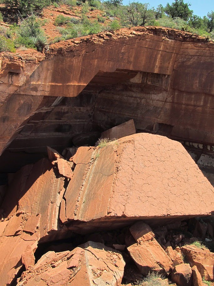
Supposedly you can continue along the river, but it would involve some rock scrambling.

But the real attraction at this point is the group of petroglyphs easily seen on the rock walls.

I'll zoom in for a better look.

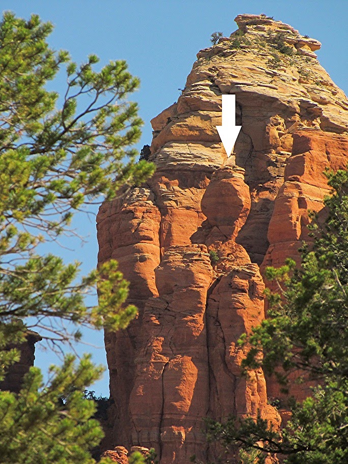
Since I'm not into rock scrambling, we turned around at this point.  On our way back, Ron found this 'heart' rock.  Can you see it?

Twice we were surrounded by flocks of tiny blue butterflies/moths.  They were hard to capture, but through the magic of cropping, maybe somebody can identify them.

I always enjoy the flowers like these Desert Mallow.

And these just looked like a bouquet.  I'm guessing they are Desert Verbena.

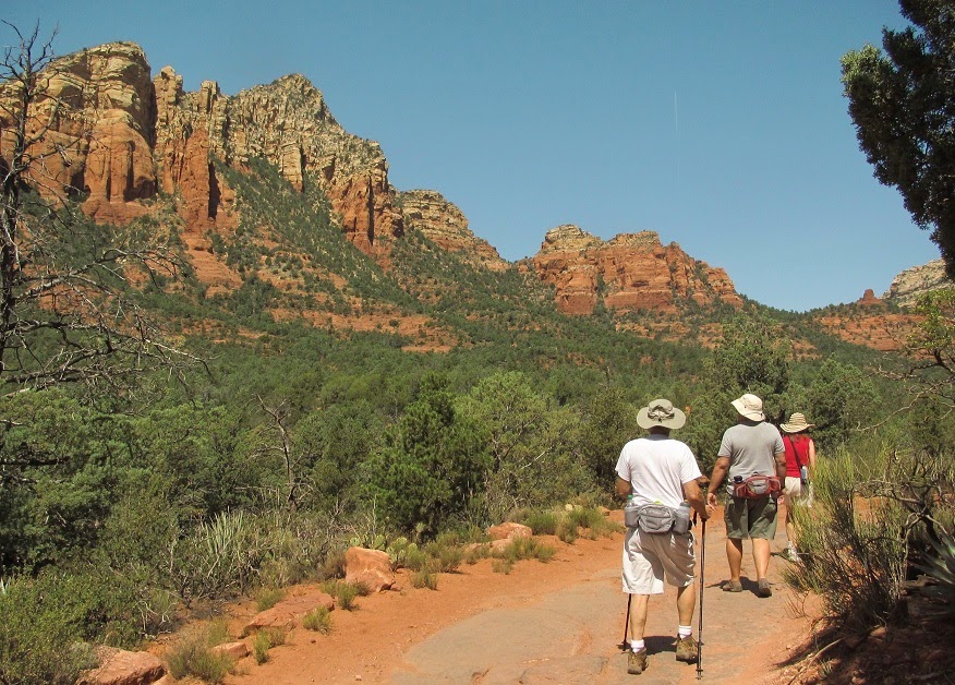
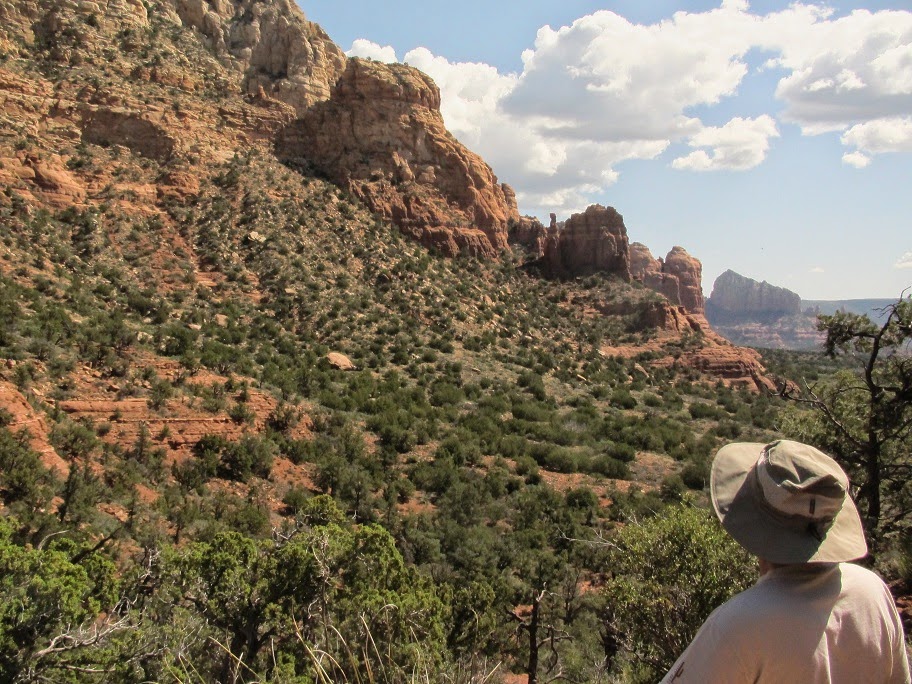
It was a very pleasant walk and a precursor to many more to come.

For those of you who asked, we do have a rough plan for our time on the road.  We'll be making our way to the Denver area from where, on June 13th, we'll fly to Alaska.  We have an 11-day tour/cruise booked which will end in Vancouver, BC.  From there, we fly back to Denver and continue east.  Ron has an urge to revisit his roots in Wisconsin.  Once again, we'll return to Mesa in early November.